
Overview: Event participants hike from Santos Meadow, up Mt. Tam through Cardiac Hill, and return via an alternate trail.
| NOTE: TICK BLOOM – We have been informed of a ‘tick bloom’ on Mt. Tam, in late April, 2016. If your assignment takes anywhere where you might be at risk, TAKE PRECAUTIONS! Ticks in this area carry Lyme Disease. | ||
| Latest Update: | 09/19/2017 | |
| All stations are to announce arrival of the first hikers as they pass through. | ||
| All stations advise Net Control of the arrival of the final hikers. | ||
| We have described the station locations as best we can. Station locations may change from year to year. The equipment recommendations are based on previous experience. Volunteers should be prepared for changing conditions. | ||
| Click on the “Station” to view a Map | ||
| Station | Location | Equipment / Repeater |
Santos Meadow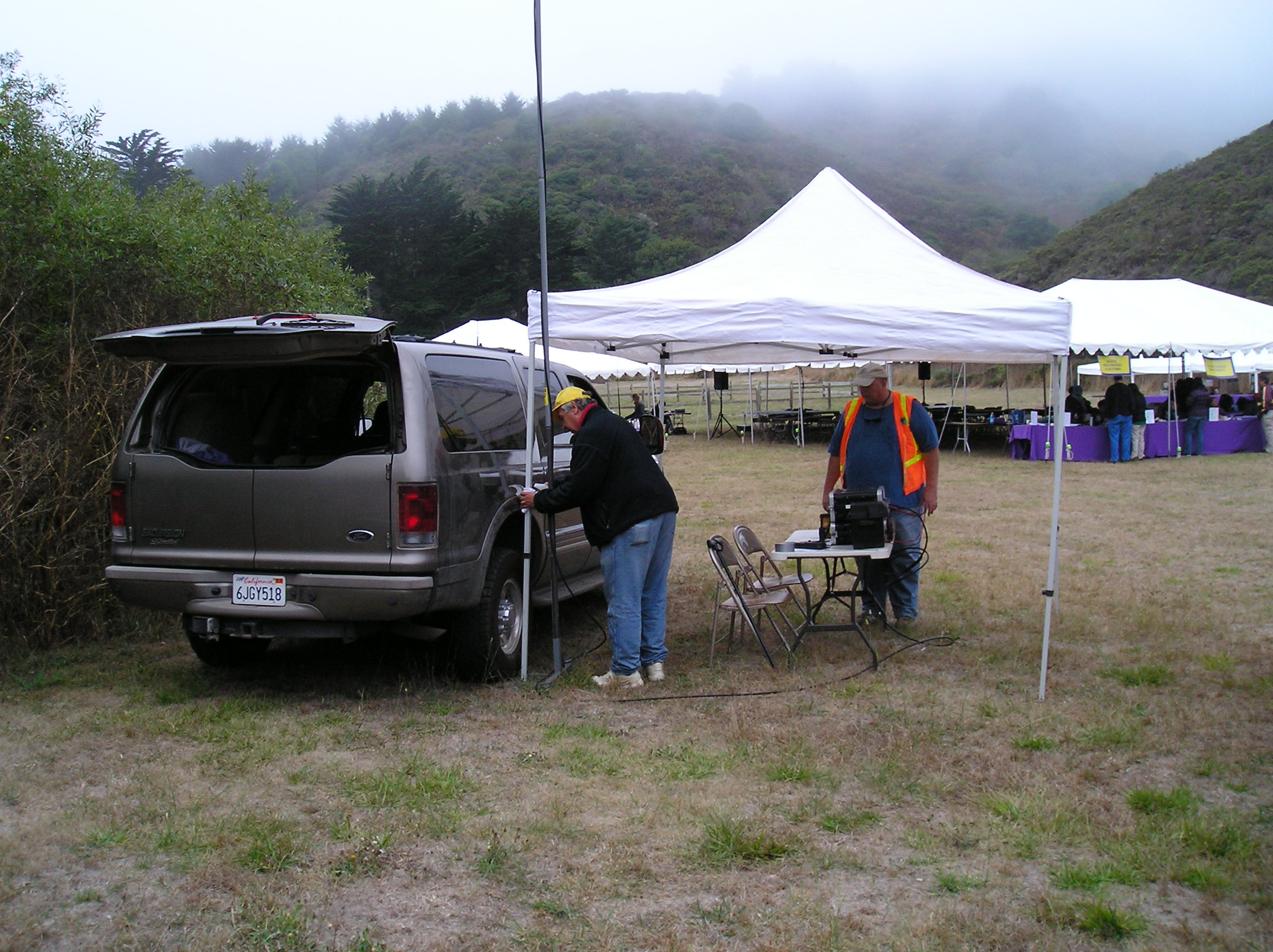 |
Muir Woods Road, South of Muir Woods | Mobile Radio – Gain Antenna on a Pole / Tam Input or Direct |
| Pantoll | Pantoll Ranger Station, Panoramic Highway | Mobile Radio – Mag Mount Antenna / Tam Input or Direct |
Cardiac Hill / Coastal View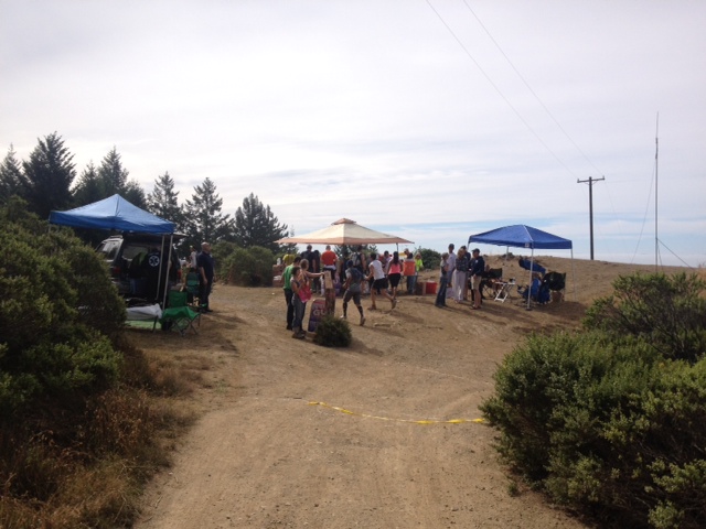 |
At Coastal View Trailhead, at Coastal Fire Road, 1/2 mile West of Pan Toll Ranger Station | Mobile Radio – Mag Mount Antenna / Tam Input or Direct |
| Shuttle Van | Communicator who goes with the transporation van | Handheld Radio – Mag Mount Antenna / Tam Input |
Sweep Hiker (“Sweep”) 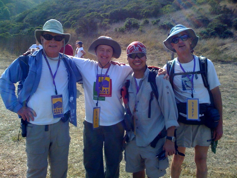 |
Hikers provide on-the-trail communications and report any problems. | Handheld Radio – Gain Antenna / Tam Input |