Overview: Mountain bike ride on Mt. Tam / Marin Headlands
| All stations are to announce arrival of the first riders as they pass through. | |||
| All stations advise Net Control of the numbers of the final riders and arrival of the sweep. | |||
| We have described the station locations as best we can. Station locations may change from year to year. The equipment recommendations are based on previous experience. Volunteers should be prepared for changing conditions. | |||
| NOTE: TICK BLOOM – We have been informed of a ‘tick bloom’ on Mt. Tam, in late April, 2016. If your assignment takes anywhere where you might be at risk, TAKE PRECAUTIONS! Ticks in this area carry Lyme Disease. | |||
| Click on the “Station” to view a Map | |||
| STATION | LOCATION | GPS | EQUIPMENT NEEDED |
| Presidio Riding Club Stables | Fort Cronkhite, 901 Bunker Rd. | 37.8310819N, 122.5199765W | Gain Antenna (Steep Valley) – Mobile Radio / Tam Input |
| Presidio Riding Club Stables – Digital / APRS | Fort Cronkhite, 901 Bunker Rd. | 37.8310819N, 122.5199765W | Gain Antenna (Steep Valley) – Mobile Radio / Digital Equipment |
| Mt. Tam Water Stop | On Ridgecrest Rd. Near Middle Peak | 37.922791N, 122.600507W | Gain Antenna & Mobile |
| East Peak | Parking at East end of Ridgecrest | ~37.927314N, 122.580150W | Mobile Radio – Mag Mount Antenna / Tam Input on 146.700. 147.330 works well. |
| Pantoll | Pantoll Ranger Station, Panoramic Highway | ~37.903822N, 122.604054W | Mobile Radio – Mag Mount Antenna / Tam Input on 146.700. 147.330 works well. |
Cardiac Hill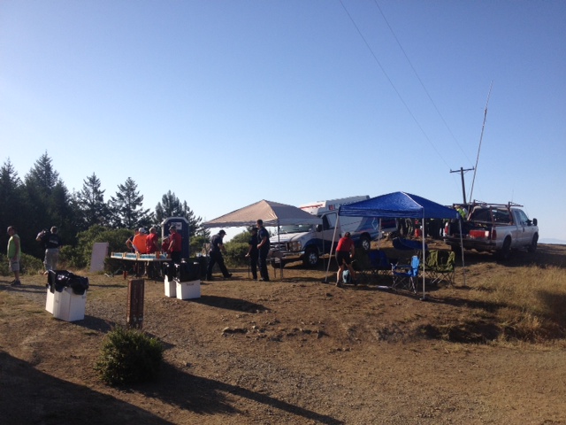 |
On Dipsea Trail, at Coastal Fire Road, ~1/2 mile West of Pan Toll Ranger Station | 37.897401N & 122601326W | Mobile Radio – Mag Mount Antenna / Tam Input on 146.700. 147.330 works well. |
| Muir Beach / Golden Gate Dairy Stables | 1760 Shoreline Highway, across Hwy. 1 from the Pelican Inn, Muir Beach | 37.8649479N & 122.5768801W | Gain Antenna & High Power Mobile |
| Tennessee Valley | End of Tennessee Valley Road | 37.860783N, 122.535634W | Gain Antenna & High Power Mobile |
| Cardiac Hill / Coastal View | On Coastal Trail, at fire road, 1/2 mile West of Pan Toll Ranger Station | 37.897401N, 122.601326W | Mobile and a Mag Mount |
| Trail Head | Bunker Rd & Miwok Trail | ~37.832844N, 122.526409W | Gain Antenna & High Power Mobile |
Last Updated 08/26/2017 by KA6BQF
Return to “Dirt Fondo”
Return to Public Service List
![]()